Opening times
Mon - Sat: 7.00 - 18:00

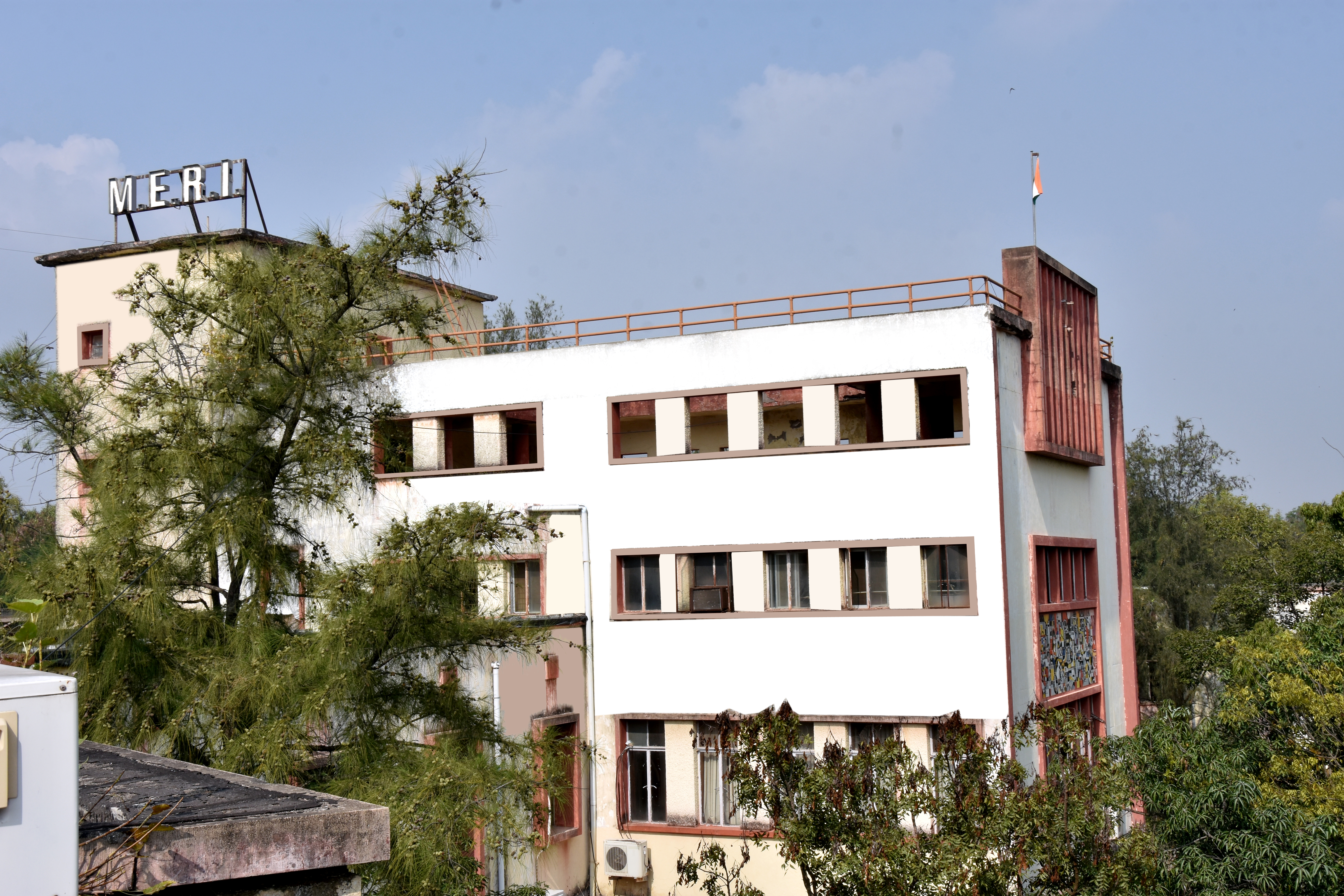
About Meri
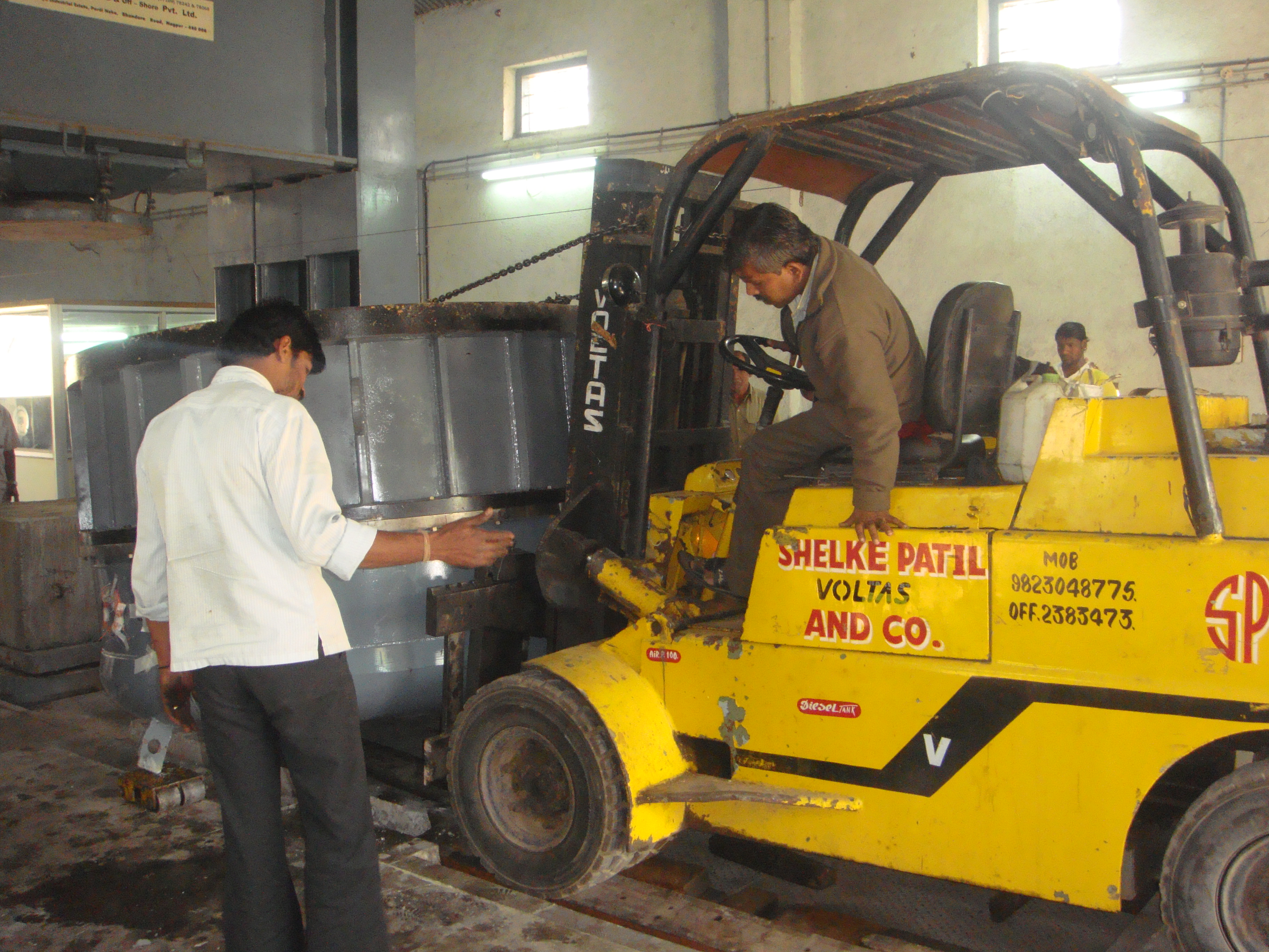
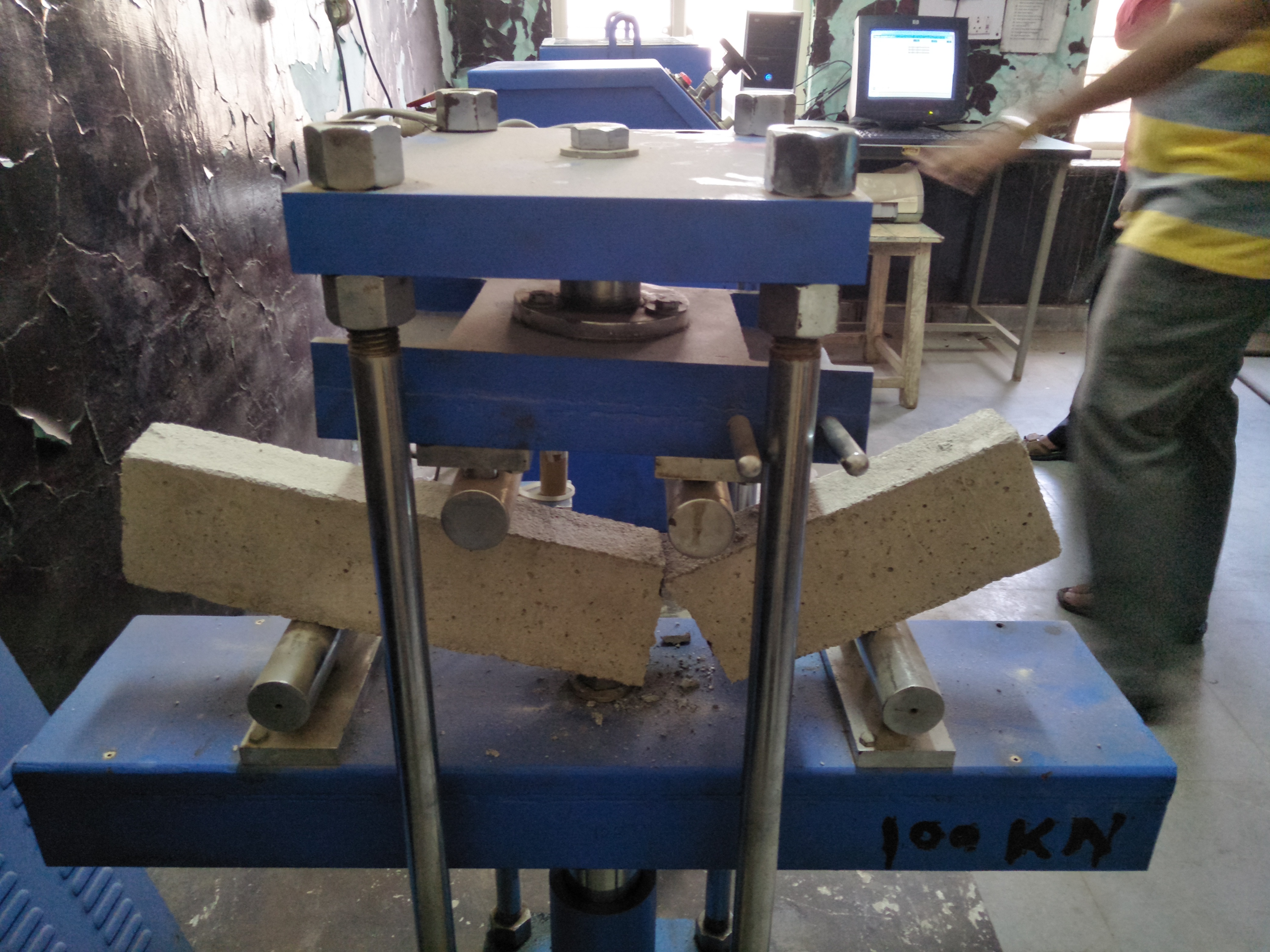
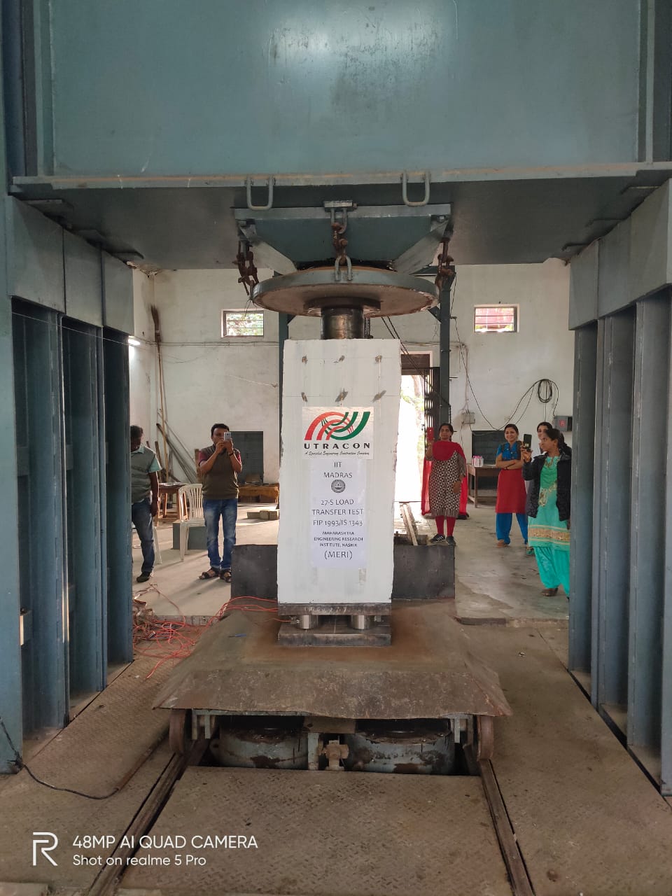
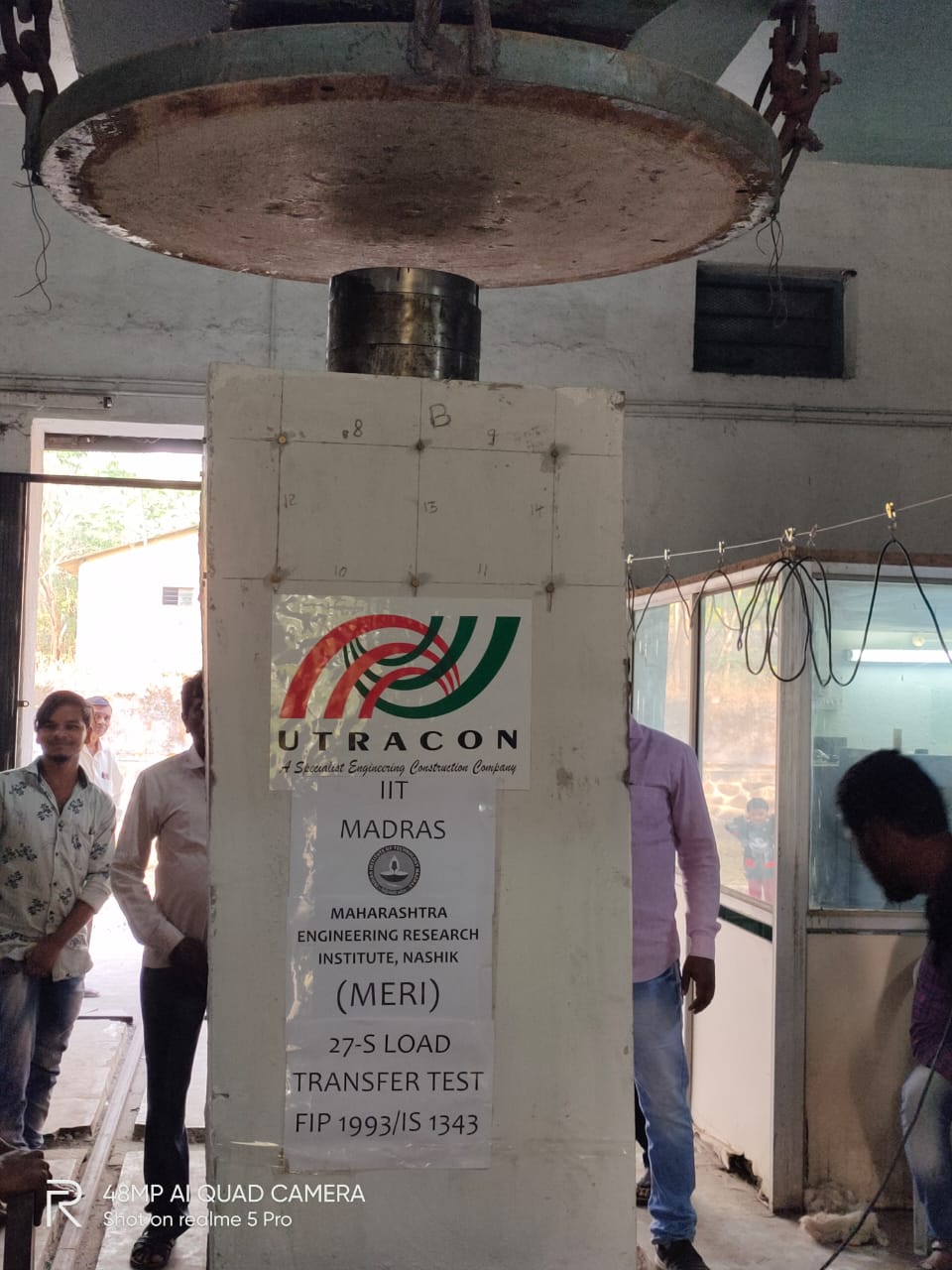
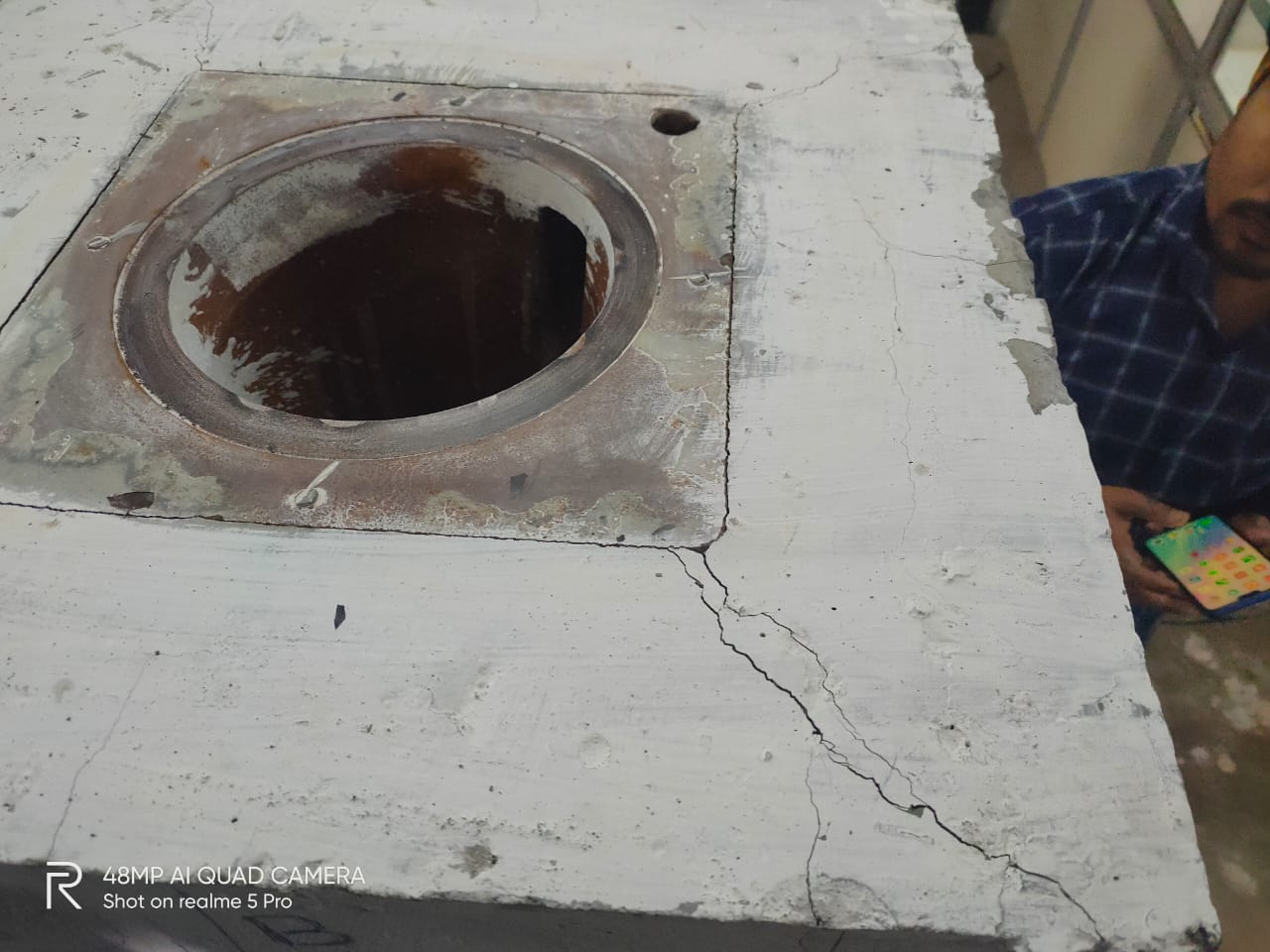
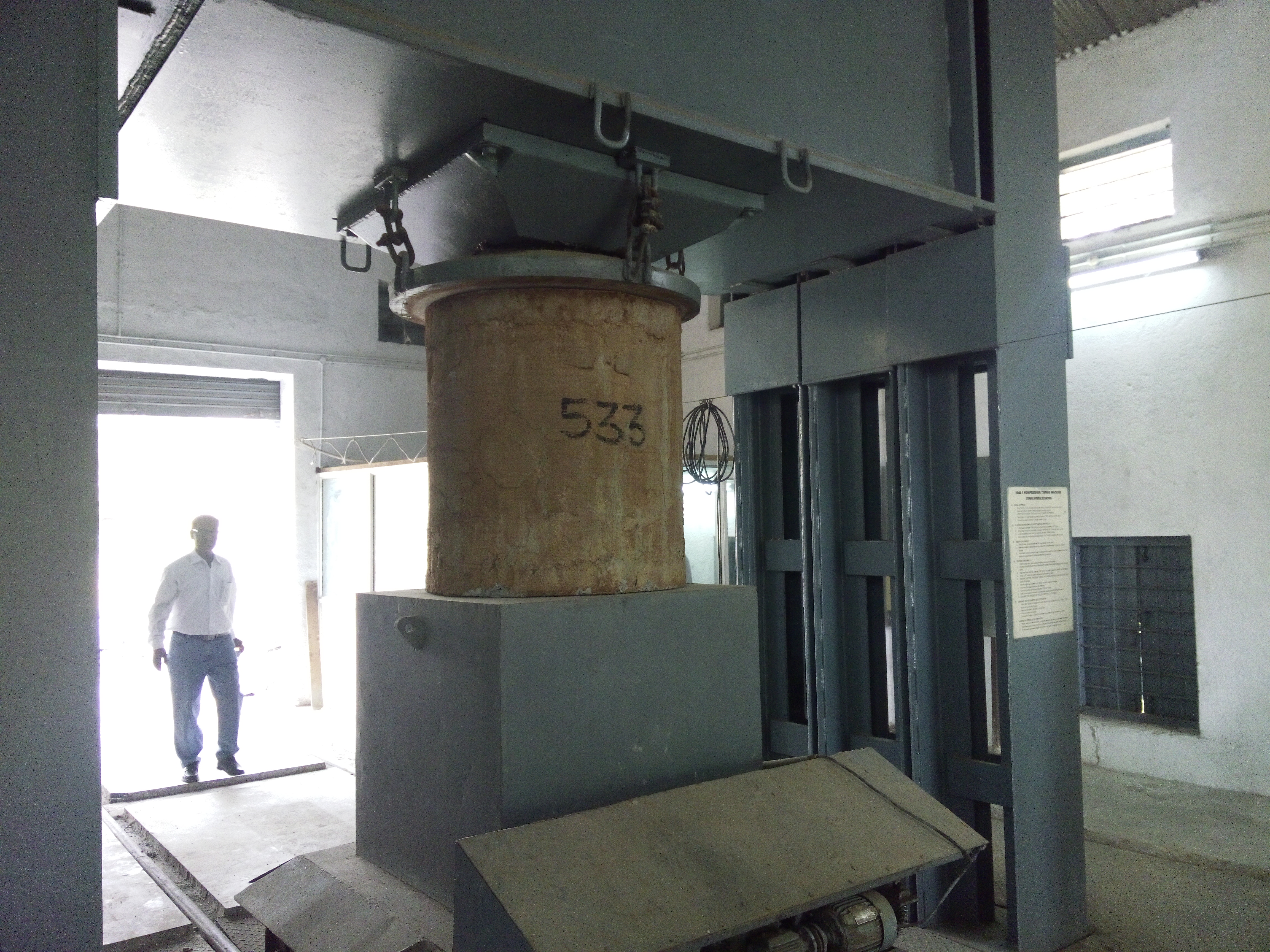
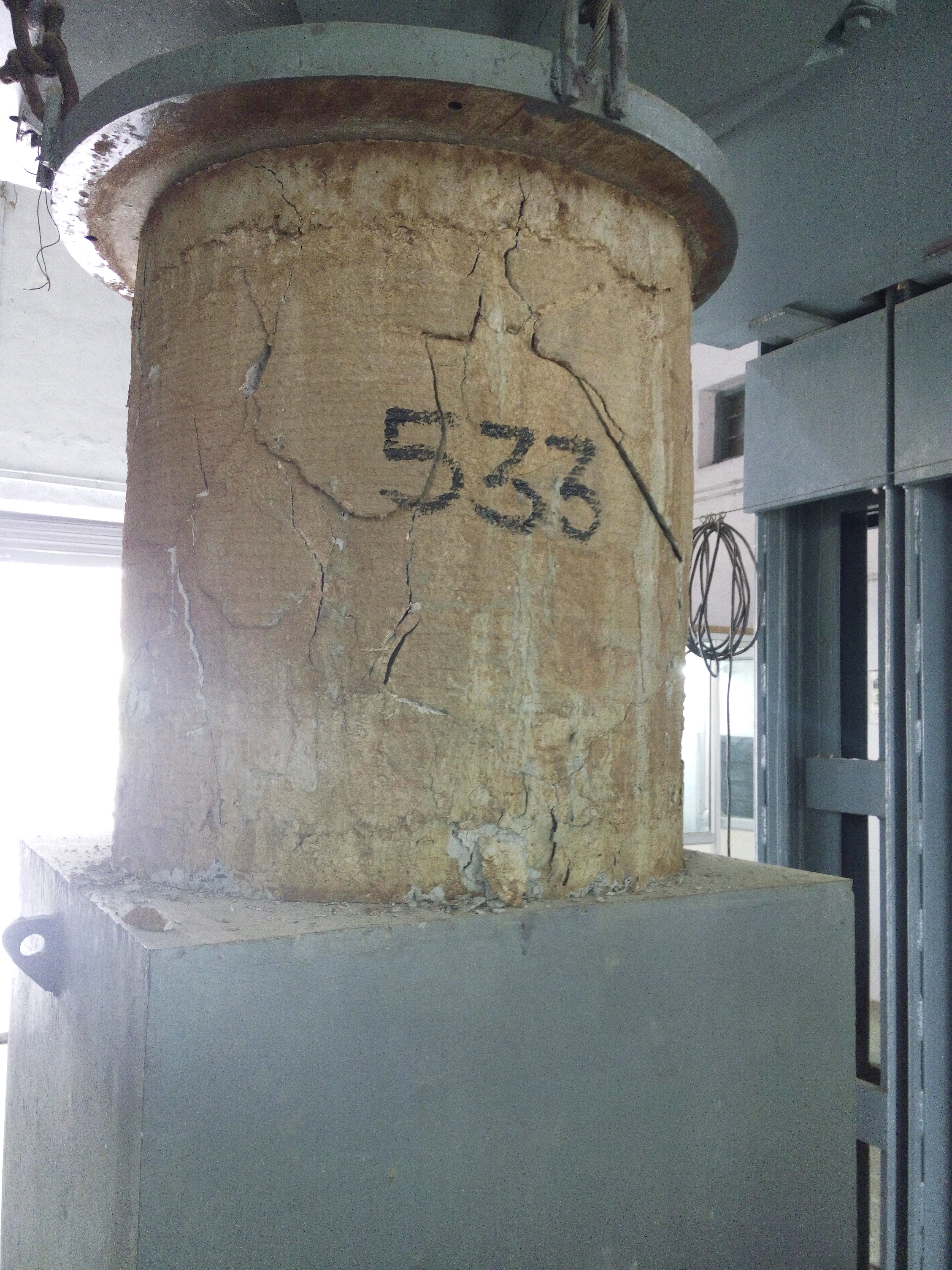
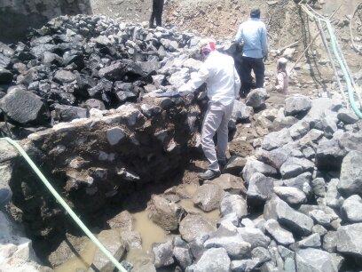
Maharashtra Engineering Resarch institute capacity assesment of the Reservoirs,crop identification and mapping,Land use Land cover mapping Green cover mapping by remote sensing Techniques and GPS and DGPS Technique for Capacity assesment of Reservoirs. Works of tesing of Civil Engineering Materials and Suggestion of Remedical Measures to Field lavel Problems of Resources Department and Public Works Department.


LATEST NEWS
.jpg)
1.JPG)
.JPG)